Manufacturing
training

In the high-stakes engineering environment of the energy sector, continuous innovation is an operational necessity. Engineering, Procurement, and Construction (EPC) contractors manage sprawling subsea pipelines, massive offshore platforms, and complex refinery facilities where inaccurate spatial planning can cause multi-million dollar construction delays. Cesium solves this problem by providing an open, high-performance platform for streaming massive, cloud-hosted geospatial datasets. By leveraging the open-source 3D Tiles specification, Cesium enables the rendering of terrain data, high-resolution satellite imagery, and complex structural assets with millimeter precision across any browser or interactive runtime environment.
Accurate bathymetric data—the science of measuring underwater terrain morphology and water depths—plays a pivotal role in subsea construction, offshore exploration, and pipeline routing within the oil and gas sector. Utilizing Cesium’s advanced bathymetry visualization features allows EPC contractors to capture highly precise underwater data points to mitigate operational risk before deploying physical assets to the field:
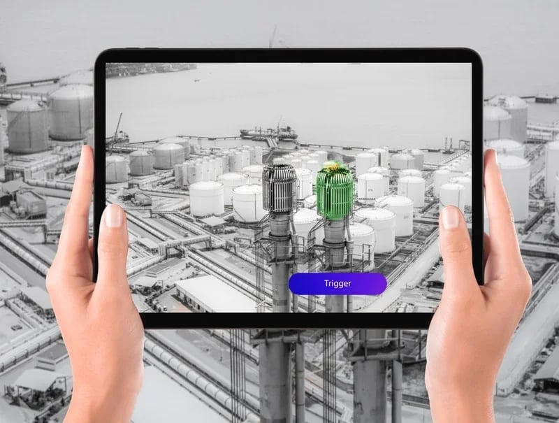
The true power of geospatial visualization is unlocked when massive cloud-streamed terrain maps interface directly with a real-time development environment. By utilizing the Cesium for Unity SDK within our Unity Industry pipeline, Yaksha bridges the gap between macro-level global satellite tracking and micro-level mechanical engineering CAD models. This unified approach empowers top-tier global EPC firms like Saipem and McDermott to visualize massive engineering datasets natively inside interactive runtimes.
Technical Pipeline Optimization Note:
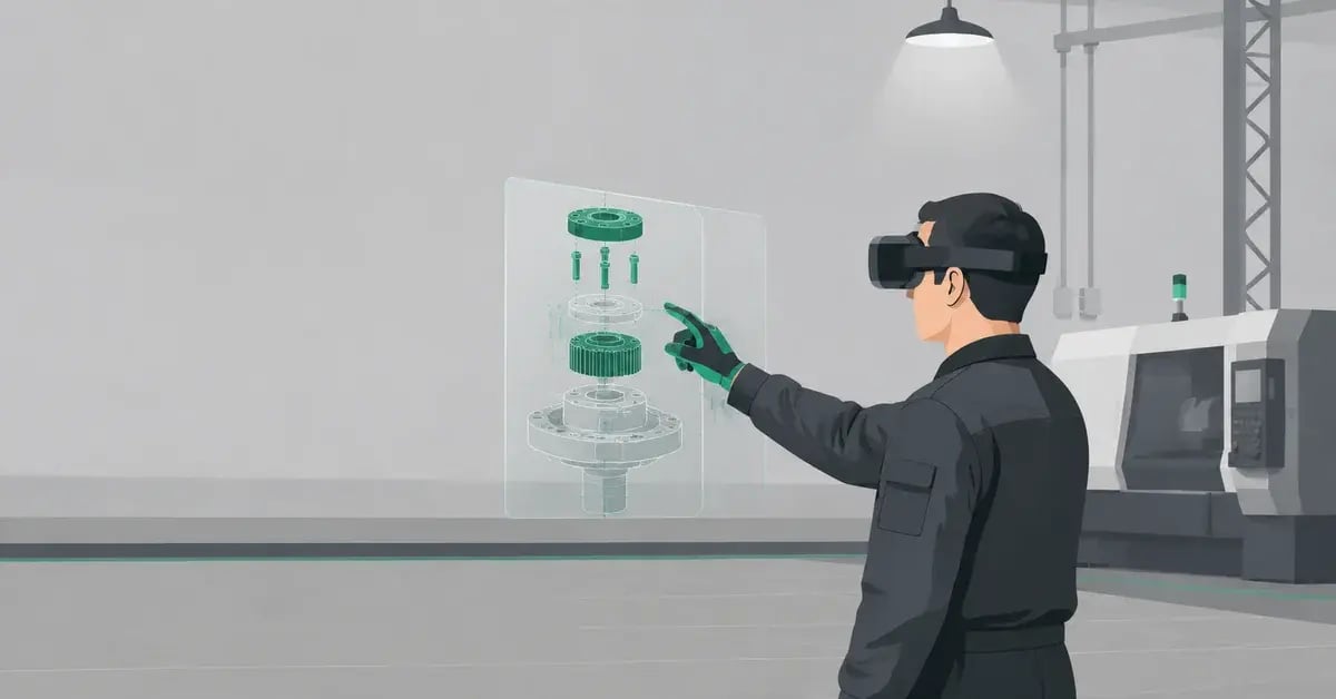
Streaming heavy subsea structures, drilling rigs, or complex refinery equipment models alongside global terrain parameters heavily impacts runtime memory tracking allocations. To protect frame rate budgets and prevent performance crashes on standalone headsets or web browsers, all incoming engineering assets are passed through our specialized 3D data optimization pipeline. Applying systematic polygon reduction (decimation), draw call batching, and aggressive occlusion culling ensures that massive CAD models render flawlessly alongside streaming 3D Tiles.
%20safety%20training%20session.%20The%20scene%20is%20s.webp?width=1200&height=1200&name=DALL%C2%B7E%202024-02-21%2022.29.56%20-%20A%20realistic%20depiction%20of%20employees%20working%20in%20an%20oil%20and%20gas%20offshore%20plant%2c%20engaged%20in%20a%20virtual%20reality%20(VR)%20safety%20training%20session.%20The%20scene%20is%20s.webp)
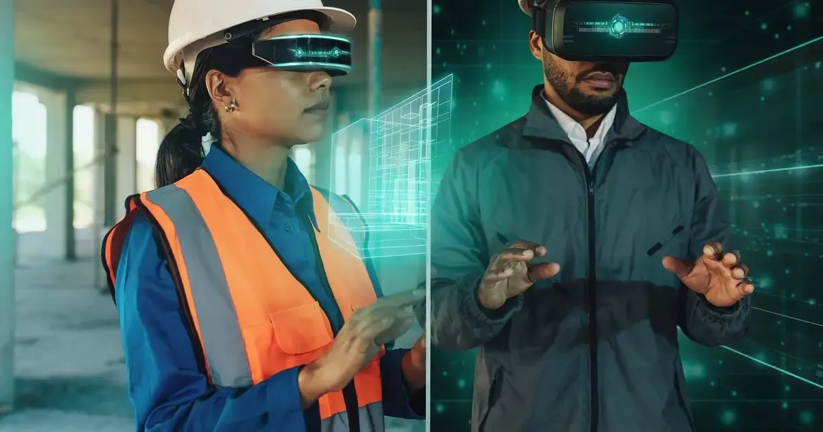
High-precision bathymetric datasets and streaming 3D geospatial tiles pave a seamless path for advanced Augmented Reality (AR) and Virtual Reality (VR) applications within the energy sector. Transferring geospatial assets directly into immersive hardware allows contractors to transform abstract coordinate points into realistic, hands-free 3D environments.
This spatial intelligence capability fundamentally reshapes project management across three critical vectors: executing remote subsea inspections without deploying diving crews, delivering high-fidelity safety simulation training for field engineers, and conducting cross-border virtual walkthroughs for executive procurement and stakeholder approvals. As technology evolves, embracing innovations like Cesium’s Bathymetry feature paired with Yaksha's real-time engine pipelines positions global infrastructure giants at the absolute forefront of the energy sector.
Connect heavy engineering CAD data with precise geospatial terrain maps. Let our team architect a high-performance, browser-native Unity Industry and Cesium pipeline tailored for your global EPC operations.
Consult a Geospatial Pipeline Specialist